Around 2012, I started thinking about the 1968 Riots here in Washington, D.C. We were approaching the 50th anniversary of the second military occupation of the Nation’s Capitol and there was no public memory of the event.
Despite the revitalization of DC’s Shaw, the U St. and H St. NE corridors, there was nothing to inform current residents that these streets once bore witness to a week-long siege in response to the death of Martin Luther King Jr. 875 miles away at the Lorraine Motel in Memphis, Tennessee.
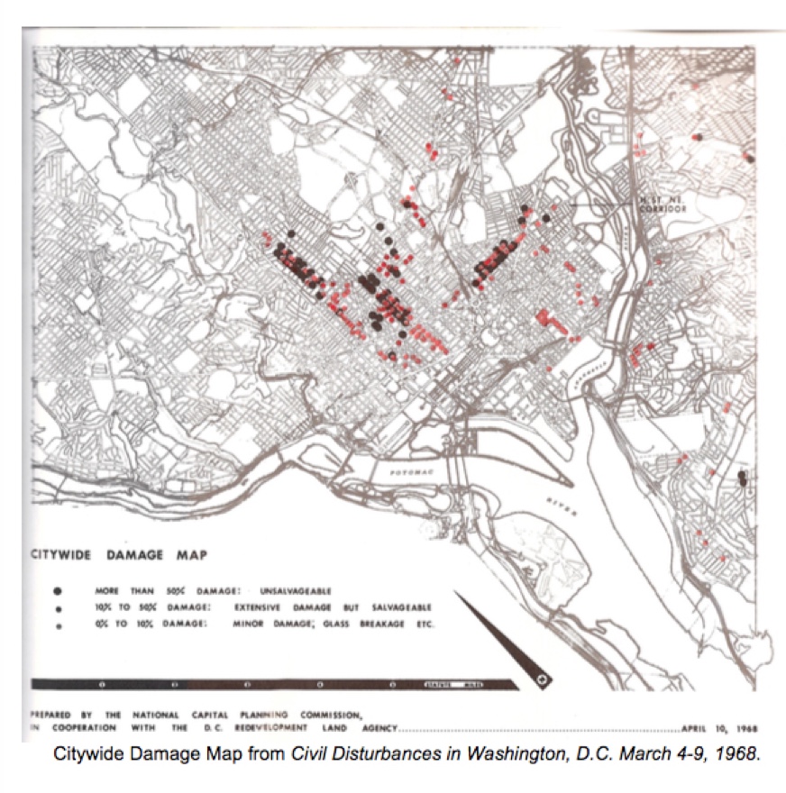
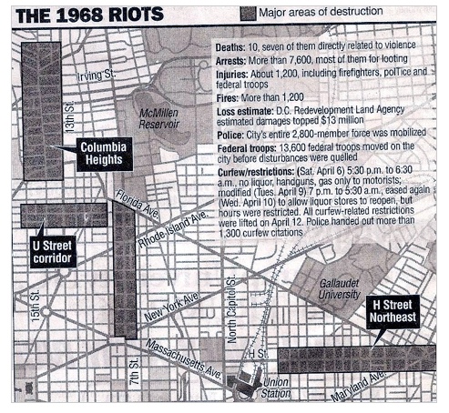
During that week, DC Fire and EMS services reported 1,180 fires as arsonists and looters set businesses aflame in response to King’s death. The riots Irreparably damaged African-American neighborhoods to the north and east of the City’s Federal corridor.
Because the Banks and City Officials red-lined those neighborhoods it took 50 years for them to recover. Upper Northwest DC has always been regarded as the most affluent quadrant in a largely African-American city. It’s no accident that the looters in poor neighborhoods targeted overpriced businesses first.
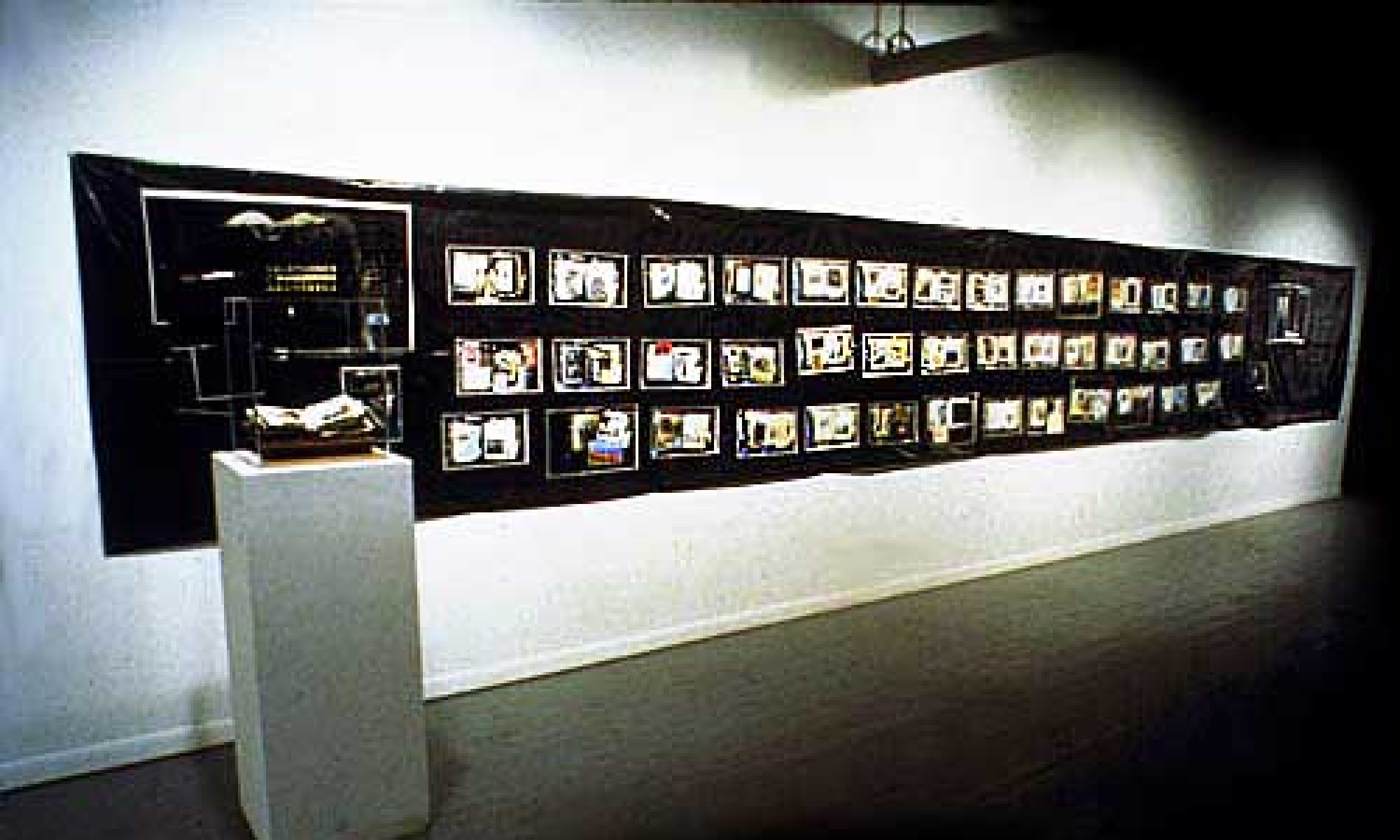
As part of a Public Art installation, I planned to erect video kiosks on sidewalks along 7th St. 14th St. and H St., where gentrification had overwhelmed the history of place.
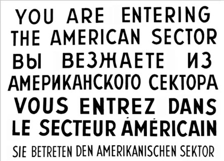
Atop of each of the kiosks, I -planned to erect facsimilies of Berlin’s “Checkpoint Charlie” signs in memory of the 1968 riots.